


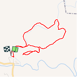


6,6 km | 8,2 km-effort


Benutzer


Kostenlosegpshiking-Anwendung
 SityTrail
IGN / Geografische Institute
SityTrail World
Die Welt öffnet sich für Sie
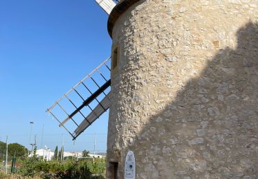
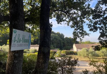
Tour Wandern von 5,3 km verfügbar auf Provence-Alpes-Côte d'Azur, Bouches-du-Rhône, La Barben. Diese Tour wird von jymrando vorgeschlagen.
Agréable petite rando, avec de beaux points de vue sur les gorges de la Touloubre et le château au retour. Une portion de descente un peu raide.

Andere Aktivitäten

Mountainbike
Andere Aktivitäten

Wandern

Mountainbike
Wandern
Wandern
Wandern
Wandern